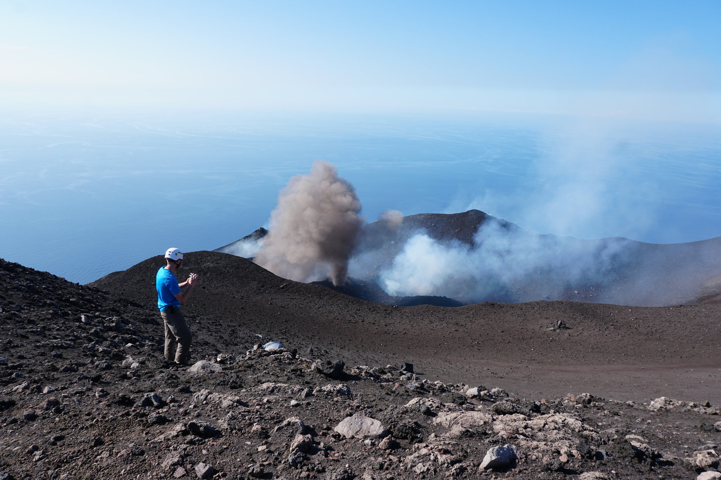
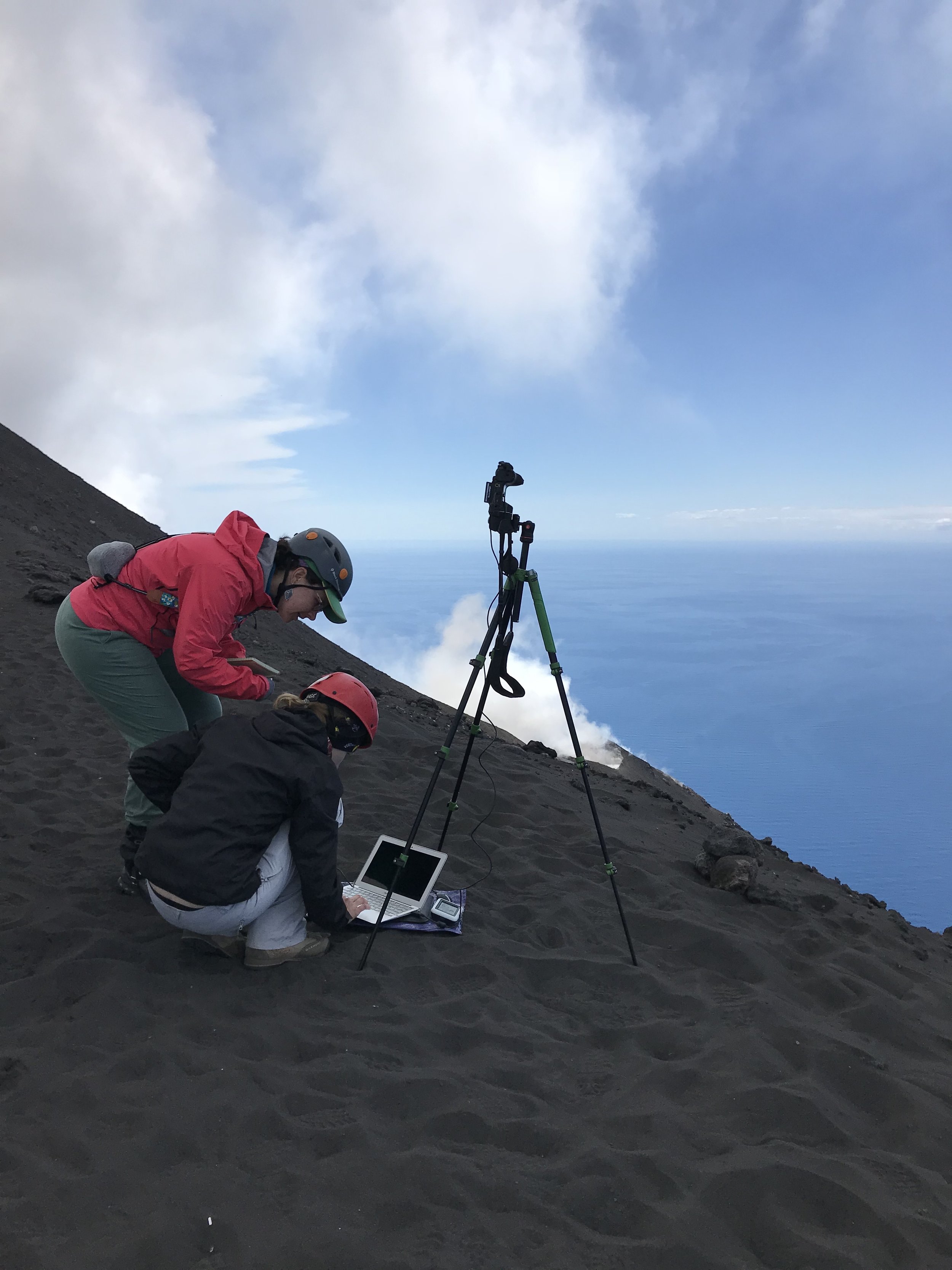
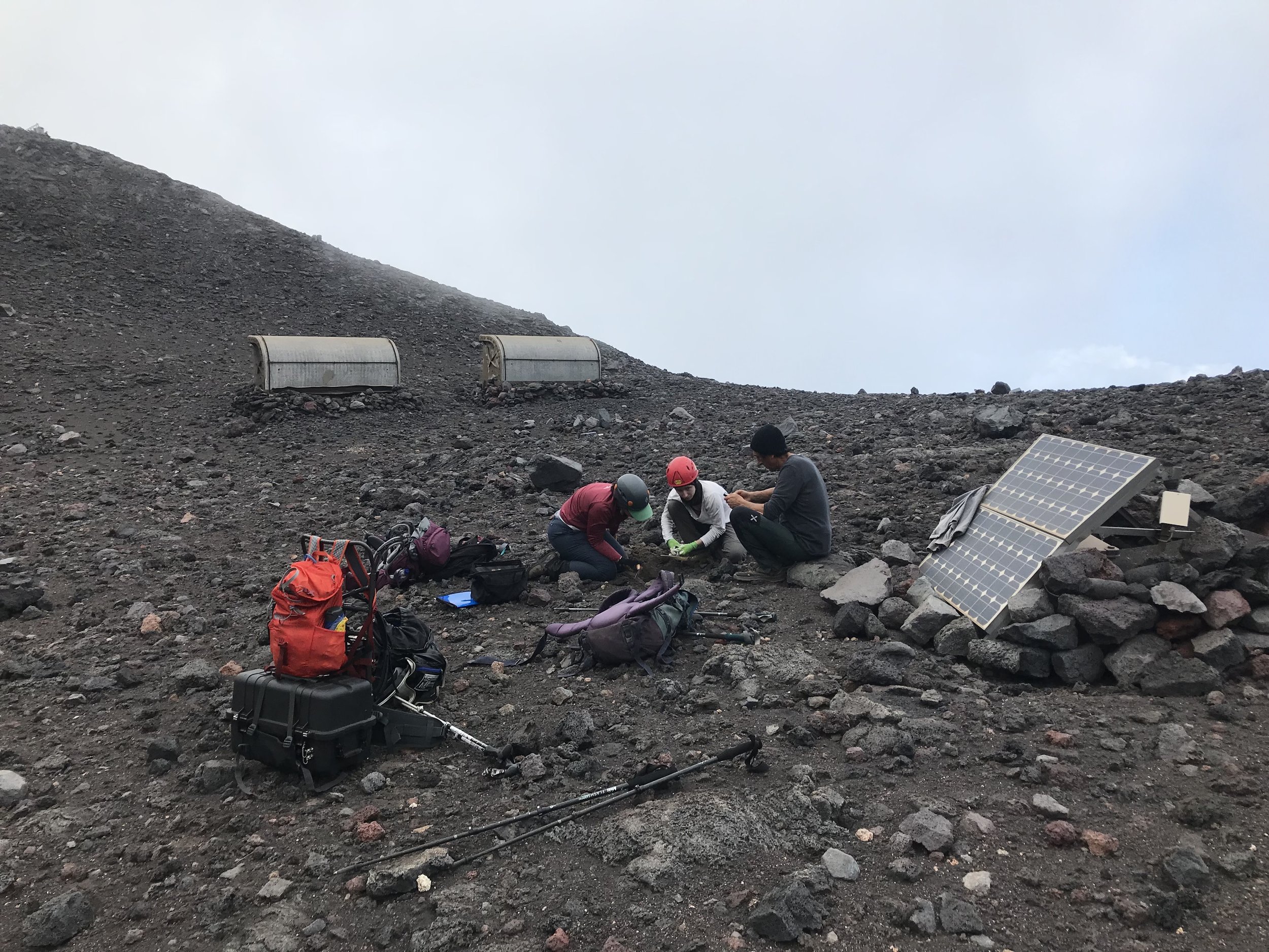
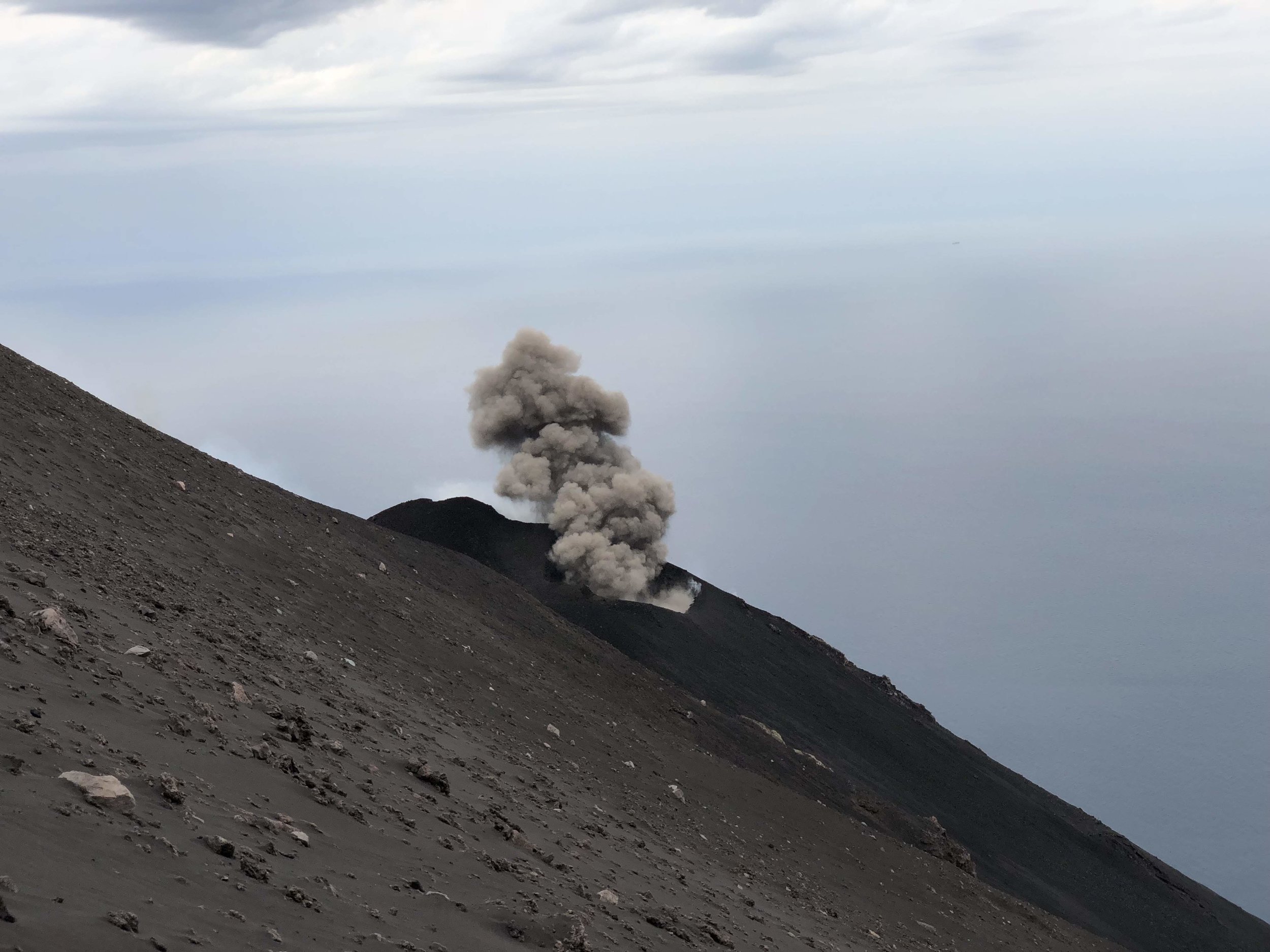
At Stromboli Volcano, Italy, very long period (VLP) seismic signals and strombolian eruptions have been attributed to the unsteady flow of gas slugs through the shallow plumbing system followed by explosive slug bursting at a free surface. In data from a 2018 seismo-acoustic deployment, ~92% of events in two main VLP multiplets do not coincide in time with impulsive infrasonic signals (the expected signal of explosive slug bursting); we term these `silent VLPs'. The lack of infrasonically-detected explosions relative to
repeating VLPs does not support the commonly-invoked `gas slug' model. We propose that VLPs may be generated when gas bubbles move into a weak semi-solid plug in the uppermost portion of the conduit. The plug then acts as a mechanical filter in which pathways vary and guide or trap ascending gas slugs, allowing for passive (silent) gas release and explosive escape mechanisms decoupled in time from VLPs.